Skip to main content.
Currently:60.9°F Night time, Dry, Clear skies
Night time, Dry, Clear skies
Comfort Index: ---
 Updated18-Apr-2024 4:30am @ 
 
Time of Next Full Update: 4:35 am -  Station Elev: 1469 ft  
Pepper Ridge North Valley - SWN Navigation Menu
Pepper Ridge North Valley - Main Naviagation Menu

Weather Links:

       Home Page 

      Current Weather 

           Forecast Page 

          Historical Data

           Live Lightning 

            Monsoon Info 

        Satellite/Radar 

       Station Info

     Tropical Weather

        Weather Ed. 101 

          Weather Links 

      Weather Photos 

  Weather Warnings

       More Wthr Links 

Us Flag

New FeatureNew Feature
N.O.A.A Radio

Celebrating
15+ Years on the web
2005 - 2021

& 20+ Years of Data
1997 - 2021
At Pepper Ridge

 Weather Reports: 
Monsoon 2022New Feature
 Highlights. 

Monsoon 2021New Feature
 Wrap Up Review. 

Monsoon 2020
 Wrap Up Review. 

Monsoon 2015
 Review. 


Member of the:
World Weather Websites

Current NWS Alerts:


No alerts

Lower Sidebar Page
Pepper Ridge Weather Station
USA Weather Finder
United States Weather Group
Wunderground

Sky Warn

CWOP 3794 Quality Control Logo
CW 3794

For more information
about this site
contact the
Web Master

Willow Fire Pyro Cumulus Cloud

Return to Top
of Page

Welcome to the Radar/Satellite Page

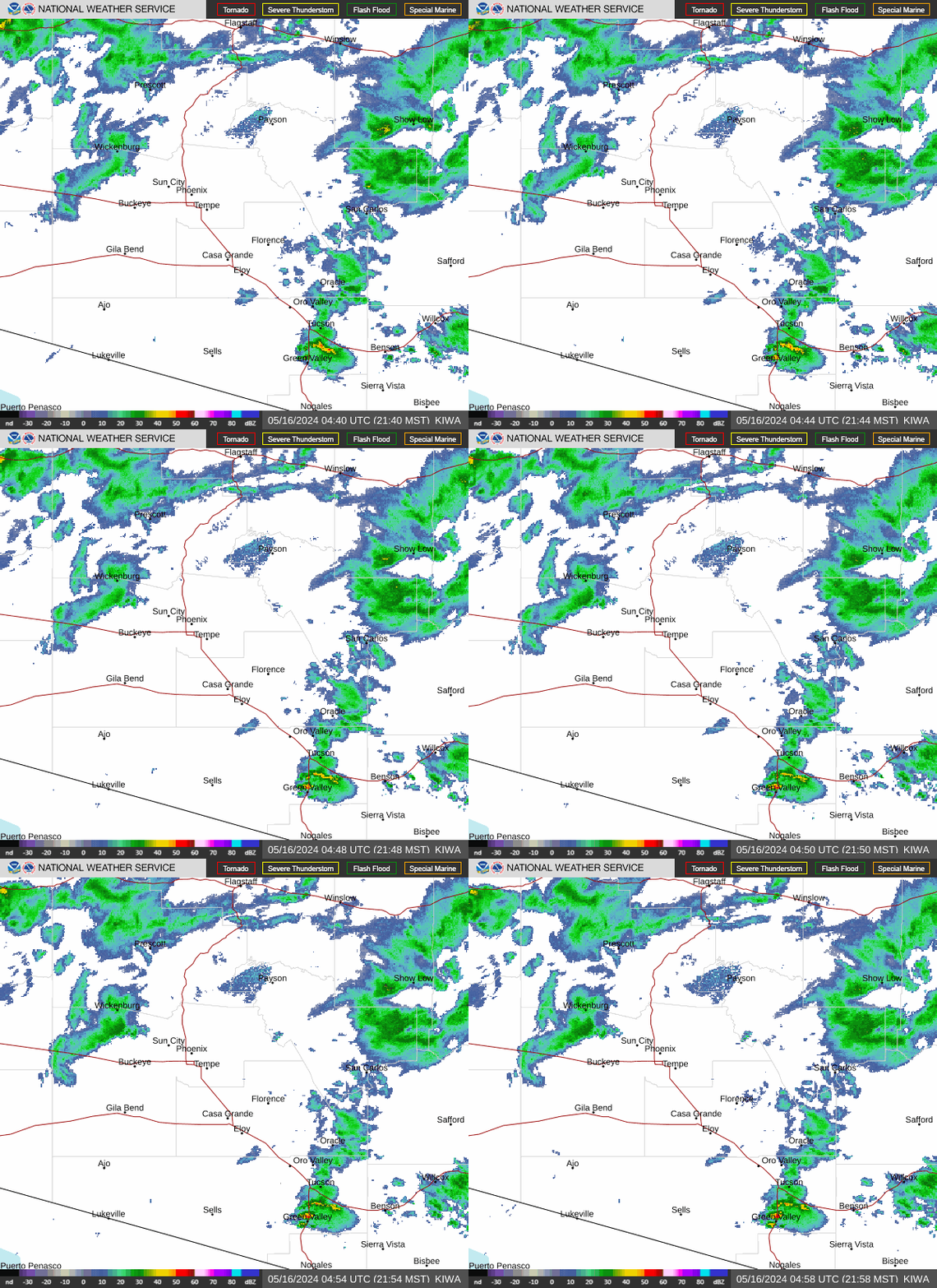
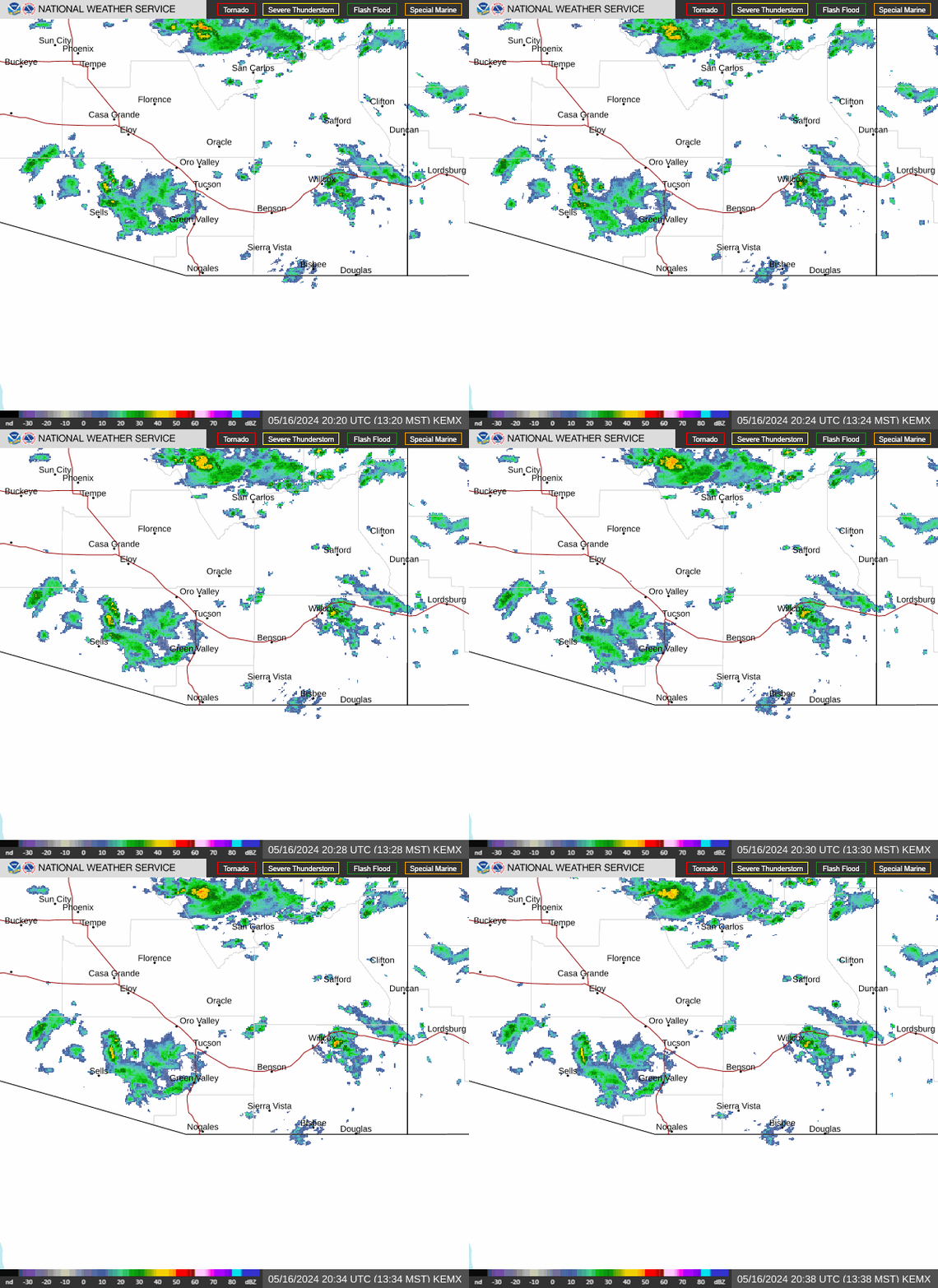
Doppler Radar Images of Arizona


Phoenix Doppler Radar

Tucson Doppler Radar
Additionial Local Radar Image of Phoenix
can be found at the following link: Local Phoenix Metro Radar


GOES16 Satellite Loops


GOES16 Satellite Loops

Satellite Band   Satellite View   Image Number
AutoRefresh   AutoRefresh Interval
The date is currently Apr 18, 2024. The time is 1132 Zulu, 11:32:04 UTC.
The above images are produced by NOAA GOES Satellite Distribution Center -- Animation by HAniS ©2014-2024 by Tom Whittaker
Script by SELincoln Weather and Saratoga-Weather.Org

Used the Tabs above the Animated Satellite Images to Select the Satellite Band and Satellite View
Note: The Visible Satellite Bands are only visible during the daylight hours otherwise they will appear black at night.


Additional Satellite maps can be found at the following links:

N.O.A.A. Goes 16 Satellite Imagery

N.O.A.A. Goes 17 Satellite Imagery

N.O.A.A. Satellite Imagery

Univ of Arizona Satellite Imagery


Member of the:
LightningRing

World Weather Websites

 Pepper Ridge North Valley Random Weather Facts

HUMIDEX
Definition Humidex - Over the years, several measures have been proposed to relate various combinations of temperature and humidity into a single number to approximate what hot, humid weather feels like to the average person. Of these, humidex is the one most familiar to Canadians. Humidex was introduced into Canada in 1965. The index is a summer analogue of the wind chill factor in that it is an equivalent air temperature. Air of a given temperature and humidity is equated in comfort to air of a higher temperature that has a negligible moisture content. Comfort is quite subjective and largely dependent on the age and health of the individual. Weather conditions causing prickly heat in an infant may result in heat cramps in a teenager, heat exhaustion in a middle-aged and heat stroke in a senior. Humidex is also limited as an overall hot-weather comfort index because it does not consider other factors such as pressure, wind speed, precipitation, sunshine or pollen.

Get the Facts PHP


Page layout last updated on Feb 9th, 2009